Archaeology · Muzrabot District
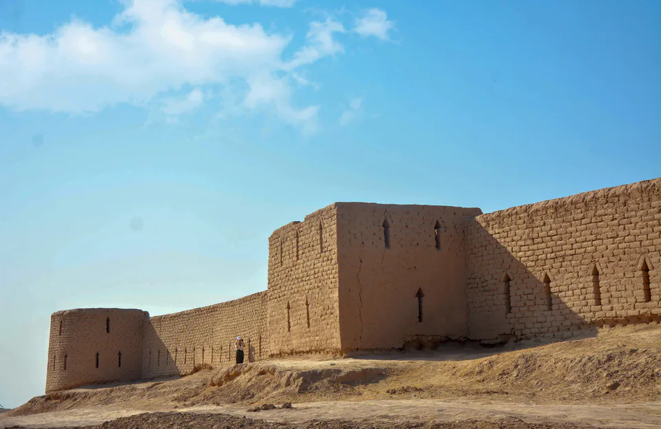
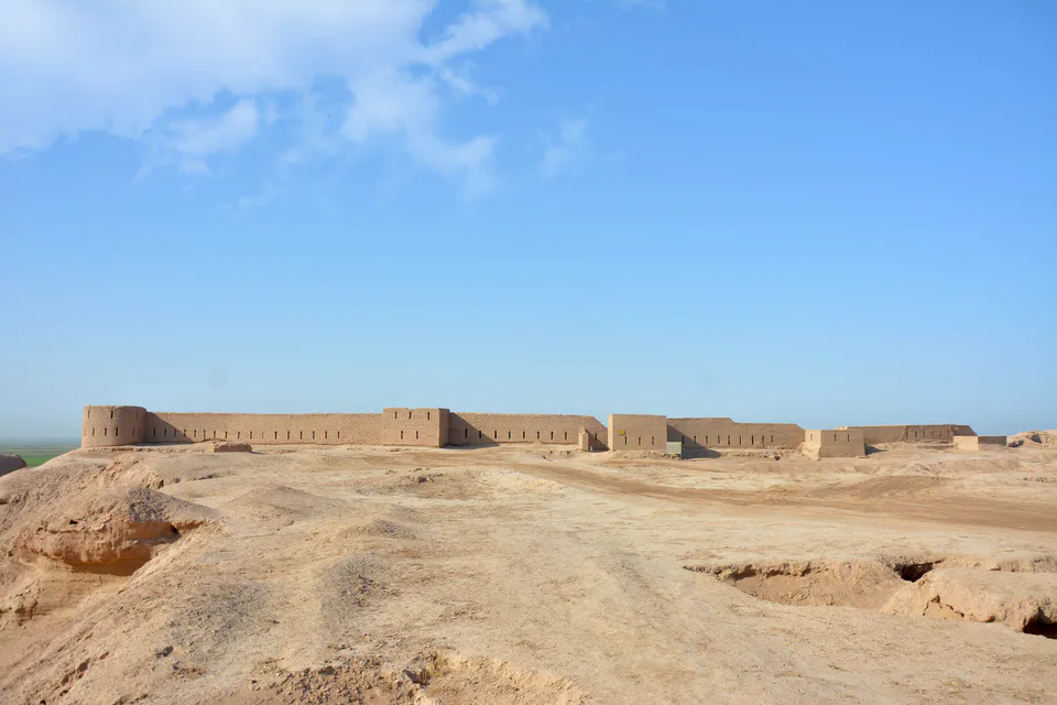
Kampir Tepe
A Hellenistic fortress on the Amu Darya: the lost Alexandria on the Oxus?
district · Surkhandarya Region
The region’s south-westernmost district, bordering Afghanistan across the Amu Darya and Turkmenistan to the west, with Hellenistic Kampir Tepe and Bronze Age Sapallitepa.
Muzrabot District was created on 25 December 1968 and was called Gagarin District until 1994. It occupies the southernmost part of the region, bordering Sherobod and Qiziriq to the north, Angor to the east, Termez District to the south-east, Afghanistan across the Amu Darya to the south and Turkmenistan to the west. It covers 739 km² and had 159,900 inhabitants on 1 January 2026; the centre is Xalqobod.
Most of the district is irrigated plain and most people live in villages; it has 9 rural assemblies, 10 settlements and 48 villages, among them Shorob, Boldir and Beshqo‘ton.
Near the village of Shorob on the Amu Darya lie the ruins of Kampir Tepe, a town founded in the 4th century BC and fortified by the Kushans, which some scholars identify with Alexandria on the Oxus. The district also has Bronze Age Sapallitepa, after which archaeologists named an entire culture of northern Bactria, the Sapalli culture.
Muzrabot District
Airport, railway station and bus stations — addresses, timetables and the live board.
All transportTermez Nearest point: Termez, 41 km
16°partly cloudy
Weather: MET Norway
Muzrabot District
Khokimiyat, public service centre and other offices: addresses, phones, hours.
All offices (3)Khokimiyat
1 Ona Diyor St, Khalqobod, Muzrabot District
Read morePublic Service Centre
6 Amir Temur St, Shaffof Mahalla, Muzrabot District
Read moreMuzrabot District
Codes of the post offices in this city or district.
All postcodes (6)
city · A 2,500-year-old border city on the Amu Darya
district · Home of Zartepa, a Kushan town near Termez
district · A district created twice, named after an ancient “khan’s dam”
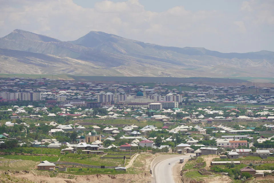
district · A living culture recognised by UNESCO, among ancient mountains
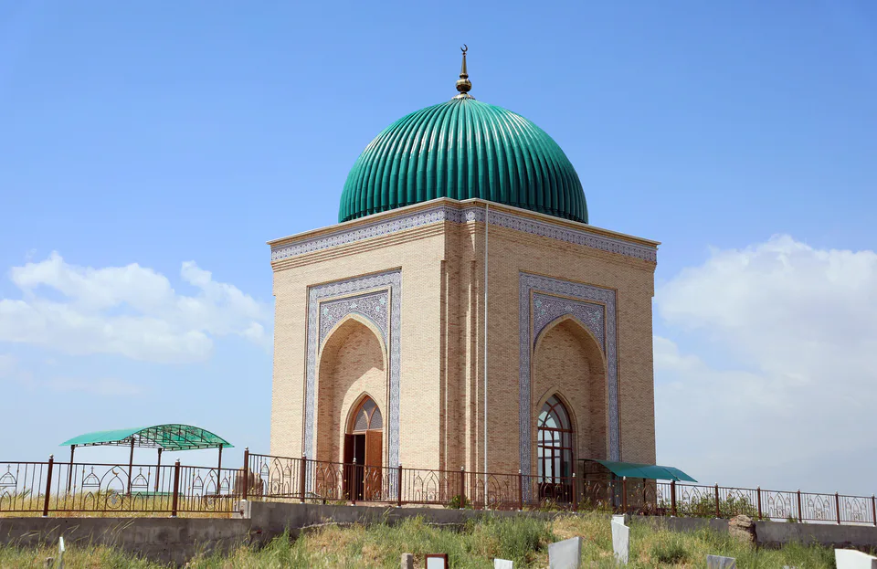
district · The heart of ancient Chaghaniyan and the region’s most populous district
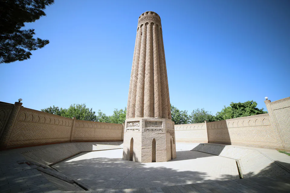
district · A Seljuk minaret and the plains of the Surkhan valley
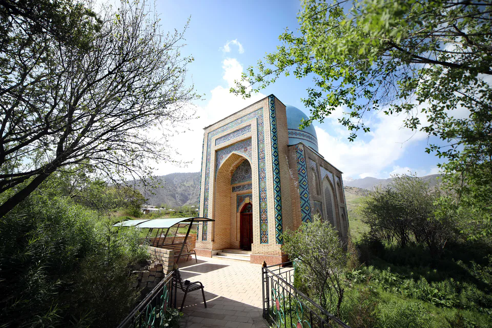
district · Vineyards and the shrine of Khojaipok Ota
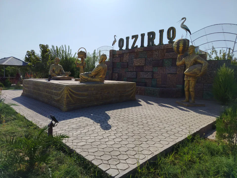
district · One of the region’s hottest steppe plains
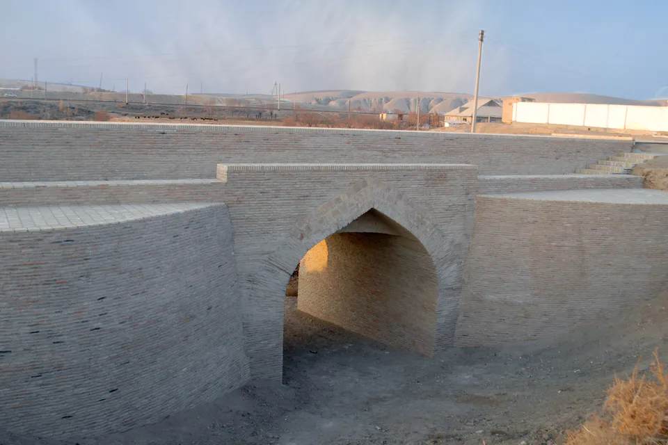
district · The region’s centre and the end of the Tashguzar–Boysun–Qumqo‘rg‘on railway
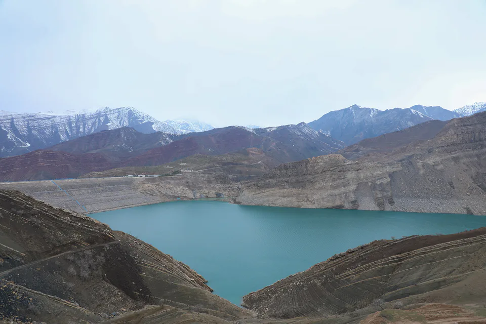
district · Hisor peaks, Sangardak waterfall and the Topalang valley
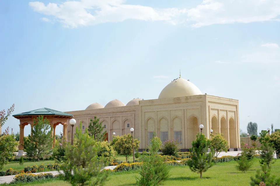
district · The Kohitang mountains, Zarautsoy rock art and Bronze Age Djarkutan
district · Home of Dalverzin Tepe and its gold hoard
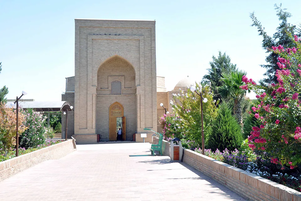
district · Where two rivers meet: Old Termez and its Buddhist monasteries
district · Bobotog country, bordered by Tajikistan on three sides